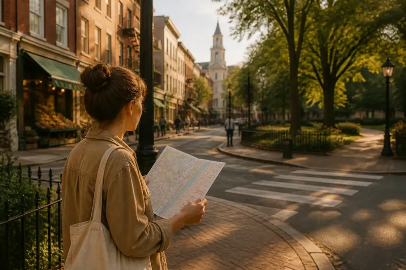
The Landmark Shortcut: Why a Familiar Building Can Mislead Your Route
Use a familiar building to orient yourself, then read its entrances and street edges to choose a route that fits the actual shape of the block.

The most common mistake in landmark navigation is treating a familiar building as a compass. A tower can be visible from several streets, while its entrance, courtyard, or blank side wall faces only one. Follow the silhouette alone and you may reach the wrong edge of the block, then have to retrace your way.
Use a landmark to recognize a part of town, not to dictate every turn. Its architecture can reveal how the block is arranged: a portico may mark the public front, a long side façade may run alongside a street, and a setback may open onto a plaza. Those clues help you understand the building’s relationship to the route rather than simply chasing its outline.
Landmark navigation starts with the building’s edges
Look at where the building meets the street. Is the main entrance recessed behind steps? Does a fence or low wall separate it from the sidewalk? Does the façade continue around a corner, or does a narrow lane run beside it? These are architectural clues about access and orientation.
A grand front can be easy to identify but awkward to approach. Museums, libraries, and civic buildings may have ceremonial entrances facing a plaza, while a pedestrian path reaches the side or rear. A church tower may be visible above nearby roofs even when the church itself sits behind a courtyard. The roofline locates the building in the area; the ground-level edges show how a walker can reach it.
Pay attention to repeated features, too. A row of columns, a band of pale stone, or a sequence of arched windows can help you distinguish one side of a large building from another. If those features continue along your street, you may be walking beside it rather than toward its entrance.
Read the architecture as a set of route clues
Start by identifying the building’s public face. A broad staircase, open forecourt, or clearly marked doorway often indicates a principal approach. A loading bay, service gate, or uninterrupted wall suggests a different edge. These details do not tell you the whole route, but they can stop you from mistaking a service side for the destination entrance.
Then notice the block’s shape. A building set back from the sidewalk may create a small plaza that connects two streets. A rounded corner can make a street appear to continue straight when it actually bends around the façade. Arcades and covered passages may offer a pedestrian connection, but only follow one if it is visibly open to the public.
Windows and doors can also help you keep your bearings. A side with repeated windows and no public doors may run parallel to the route, while a doorway aligned with a courtyard or steps can mark an approach. Treat these as observations, not promises: access can vary, and a building’s appearance alone cannot confirm that a gate or passage is open.
Use a map to compare block shape, not building height
A phone map is most helpful when you compare the pattern of streets and building edges. Find the landmark’s footprint, identify the street you are on, and look for the next bend, corner, or open space. Satellite view can clarify whether a visible gap is a plaza, courtyard, or separate street, while a standard map often makes the walking route easier to follow.
Map labels may mark a building’s center or address rather than its public entrance. If the pin sits inside a large footprint, check the street-facing edges and any pedestrian paths shown nearby. On the ground, use the architecture to recognize which side of the block you have reached. This is a better comparison than judging direction by whether the roof seems to move left or right in your view.
Say you are heading to a museum whose tower rises above a district. In this invented situation, your starting input is a phone map showing the museum, a riverside street, and a narrow pedestrian passage beside the building. You first compare the map with the long stone façade visible from the riverside; its repeated arched windows tell you that you are alongside the museum, not at its entrance. Next, you follow the public sidewalk to the rounded corner shown on the map, where the façade ends at a small forecourt. You check that the passage has an open pedestrian entrance rather than a service gate, then use it to reach the museum’s marked front steps. The resulting decision is to enter through the forecourt, not to continue toward the tower or try a closed-looking side door.
What can the building’s shape tell you?
How can you tell which side of a landmark you are on?
Compare visible façade details with the building’s footprint on a map. A corner, a change in window pattern, or a row of columns can help identify the side, especially when you also recognize the street running beside it.
Does the main entrance always face the street?
No. A principal entrance may face a plaza, courtyard, or pedestrian approach set back from the street. Look for steps, a forecourt, or a clear public path, and avoid assuming that the nearest doorway is the visitor entrance.
Can an arcade or passage shorten the route?
Sometimes. Check that it is open to pedestrians and leads to the street or courtyard shown on your map; an arcade may be private, closed, or simply run along the building without providing a way through.
What if the landmark’s entrance is not obvious?
Use the building footprint and visible public approaches to identify likely access, then check posted signs or the venue’s official information if access matters. If the route would take you through a gate or passage whose status is unclear, stay on the public sidewalk and choose a clearly open approach.
Check these architectural clues before choosing an approach
Each clue should lead to a practical decision. If one feature is ambiguous, use another rather than forcing the route to fit your first impression.
- Entrance steps or a marked public doorway: If they align with the pedestrian route, approach that entrance; if they face a fenced or inaccessible area, stay on the sidewalk and look for the public forecourt.
- A long, uninterrupted façade: If it matches the side shown on your map, continue along the block; if the map shows an entrance before the wall ends, check for a recessed doorway rather than walking past it.
- A rounded or angled building corner: If the street visibly turns with the façade, follow the public sidewalk around it; if the route seems to enter a private area, remain on the street and use the next public corner.
- A courtyard or forecourt: If an open pedestrian path connects it to the street, use that approach; if it is gated or marked private, take the public route around the block.
- An arcade or covered passage: If it is open and connects to the mapped destination street, it may be a useful shortcut; if access is restricted or its exit is unclear, continue on the public sidewalk.
- A loading bay or service entrance: If signs identify it as service access, do not treat it as the visitor entrance; continue toward a marked public doorway or check the venue’s official directions.
Let the next architectural feature confirm your turn
Before leaving a corner, choose one feature you expect to encounter: the end of a colonnade, a recessed doorway, a courtyard opening, or a turn in the façade. As you walk, see whether the building changes in the way the map suggests. If it does, continue; if the next edge looks different, reconsider which side of the block you are following.
This approach is especially useful around large buildings, where the same roofline can appear above several streets. Keep the landmark in mind, but read the portions of it that meet the sidewalk. For landmark navigation, the entrance, corner, and building footprint are often more useful than the highest point in the skyline.
A building can orient you without serving as a directional arrow. Notice where its public face opens, how its walls shape the block, and which paths actually connect to the street. Those details turn a familiar silhouette into a more dependable way to understand the route ahead.